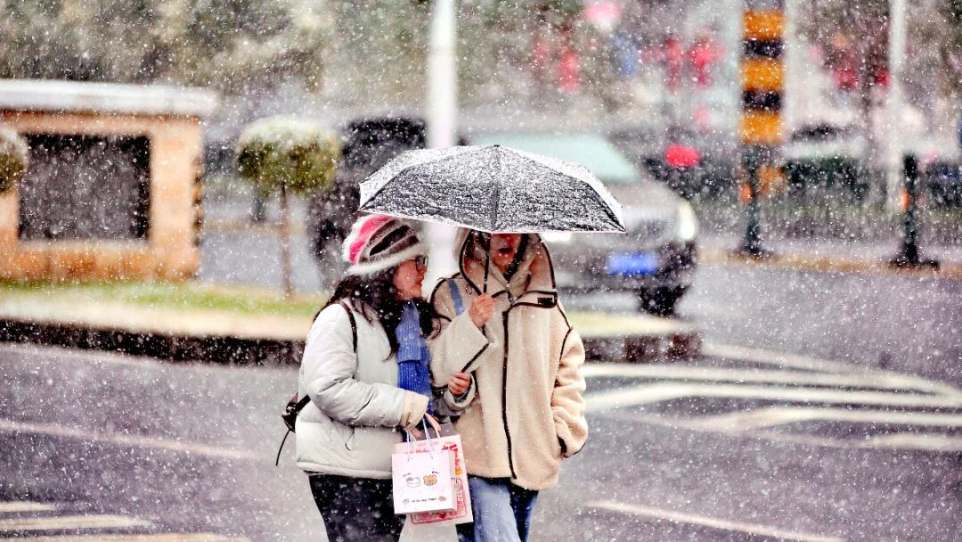
China’s National Climate Centre (NCC) said the country entered a La Niña state in October 2025, a phase that typically heightens the risk of a prolonged winter–spring drought if the pattern persists. La Niña is defined as a sustained cooling of sea-surface temperatures in the central and eastern equatorial Pacific. Deputy director Zhang Daquan of the NCC explained that La Niña tends to strengthen northeasterly winds over the Northwest Pacific and the South China Sea in winter, suppressing tropical moisture transport and leading to below-average rainfall in eastern and southern China; forecasters have warned of a continuous winter–spring drought in East China and South China. Under the combined influence of La Niña and below-average Arctic sea ice, most of China is expected to see winter temperatures near or slightly above seasonal norms, with sharp cold–warm swings. Parts of Hunan, Hubei, Guizhou, Sichuan, and Shaanxi may experience spells of low temperatures, rain, snow, and icing. A La Niña “state” occurs when the Nino 3.4 index drops below −0.5°C; a full “event” requires this threshold to persist for five consecutive months. Amid speculation about a “double La Niña” after a weak event earlier this year, the NCC assesses a low probability this winter; “double” refers to La Niña persisting across two consecutive winters, not two events in one year.


